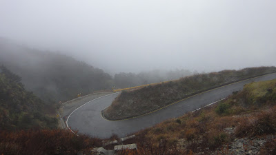
 view the broad map with a meters above the sea level graph
Search This Blog
LINK LISTS
BLOG ARCHIVES
-
▼
2012
(10)
-
▼
02
(9)
- Taiwan cycling/ Dahu to Taipei via Nanliao
- Taiwan cycling/ Taichung to Dahu
- Taiwan cycling/ Taichung city
- Taiwan cycling/ Sun Moon Lake to Taichung
- Taiwan cycling/ Wuling, the highest road in Taiwan
- Taiwan cycling/ The sea of clouds mountain cottage
- Taiwan cycling/ Taroko National Park
- Taiwan cycling/ Yilan County
- Taiwan cycling/ Taipei to the East Coast
-
▼
02
(9)
Bianchi Lupo

KHS F20-T3

KHS F20-T2

mayfly 2

MARIN Pine Mountain

Japan Part for LABEL

LABELS
- "Bianchi Lepre" (1)
- "Bianchi Lupo" (20)
- "Katakura Silk" (1)
- "KHS F20-T2" (62)
- "KHS F20-T3" (21)
- "MARIN Pine Mountain" (3)
- "TREK madone 6.9" (1)
- *climbing (5)
- *foods (2)
- *horse riding (1)
- *iPhone:GPS (5)
- *kayaking (2)
- *rent-a-bicycle (3)
- Australia (8)
- China (1)
- Japan-central (51)
- Japan-north (6)
- Japan-west (21)
- Malaysia (1)
- Mongolia (1)
- South Korea (2)
- Taiwan (19)
- Thailand (1)
- U.S. Guam (3)
- Vietnam (18)

Taka
If you want to know the details, write a comment or send an email.


0 comments