 view the broad map with a meters above the sea level graph
 view the broad map with a meters above the sea level graph
 view the broad map with a meters above the sea level graph
 view the broad map with a meters above the sea level graph
 view the broad map with a meters above the sea level graph
 view the broad map with a meters above the sea level graph
Route 9 along the shoreline was closed by the landslide yesterday. |
 I got on a train with my bicycle. I can carry my bike onto some trains without folding it.  |
Taroko National Park is a ravine along the LiwuXi valley.  |
I stayed at the Tienhsiang Youth Activity Center there, which is 480m above sea level. My stay was cheap, because the Youth Activity Center of Taiwan is a member of Hostelling International.  |
DST: 45.36Km / AV: 12.88Km / TM 3:31 |
 view the broad map with a meters above the sea level graph
| I rode heading south on the Yilan plain to Taroko. Yilan is developed town for a long time in the east coast. An old climbing kiln is preserved in its original state from those days. The red bricks and the design of the birds attract a lot of looks.   |
The hotel I stayed at today was in the small fishing village of Nanfangao. It was a small town, but I was able to use Wifi. The Taiwanese network environment is superior to Japan.  |
DST: 40.63Km / AV: N/A / TM N/A |
 view the broad map with a meters above the sea level graph
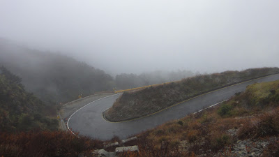
| I toured Taiwan by cycle three times this year. My destination this time is Wu Ling (3275m), which is the summit of the Taiwanese public road. At first I cycled Route 9, to Giran on the East Coast. When I broached the mountain pass of at the prefectural border, I saw a rice field and a the shoreline. I went down a zigzag path to the plain field.   |
I arrived at Jiaoxi at five o'clock in the evening. Jiaoxi is a hot spring resort. The hot spring was nice because there was a gentle rain all day long. Leeks and tomatoes are local a specialty. There was a vegetable store there which had rich colors.  |
DST: 90.58Km / AV: 15.01Km / TM 6:02 |


