I stayed consecutively in Taichung, today was a rest day.
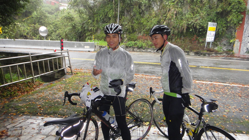
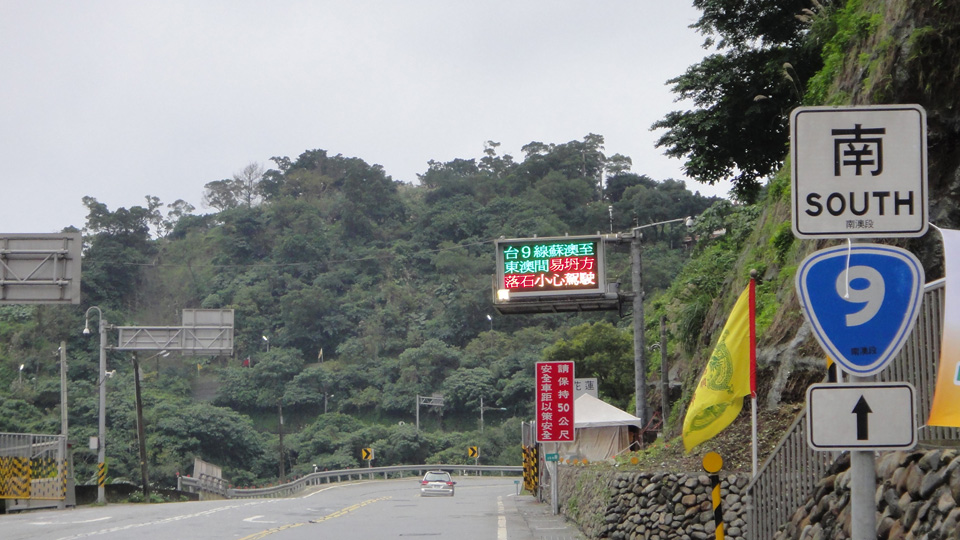
My friend Andrew was guide throughout the city by bike. A bicycle lane is shown clearly on the highway.

He guided me to a bicycle parts market and a pilot shop of Topeak.

DST: 18.47Km / AV: 13.54Km/ TM: 1:21

view the broad map with a meters above the sea level graph

I stayed at the Sun Moon Lake Youth Activity Center yesterday. I took sole possession of a four-bedroom room, but was cheap because it was division of dormitory. This area is a famous sightseeing spot in the central part of Taiwan, however, the lake was hidden by the fog.

To Taichung, the course was 80km, mainly downhill, so I made a detour to the terminal of the Jiji Line. It was a small mountain village, but there was a cycle track.

The people are revitalizing the town by using Checheng's history of being an accumulation station of lumber.

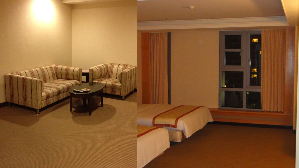
I spent time leisurely in a suite room with a front chamber.

DST: 96.73Km / AV: 17.03Km / TM: 5:40

view the broad map with a meters above the sea level graph

Route 14 goes over the backbone mountains of Taiwan.
At an altitude of 3275m, Wuling is to the highest point on Taroko. The road is constructed on the ridgeline, at over 3000m.

Taiwan is subtropical, but has an inhospitable landscape above the timberline.

Because snow lingers here, many people came by car.
I didn't have to pedal for two hours.

DST: 99.06Km / AV: 14.05Km / TM: 7:02

view the broad map with a meters above the sea level graph

I left the Tienhsiang Youth Activity Center at 7:40. The incline was 7-8%; it is not a steep slope, but it continues on and on.

 7:40 Tienhsiang480m
 8:38 Sibao915m, Gentle rain began to fall.
 9:21 Luoshao1117m, I got passed by two young cyclists.
10:56 Sinbaiyang1644m, the rain got stronger.
12:57 Bilyu Sacred2150m, I passed through just above the cloud level.
14:27 Konma tunnel2800m, Today's peak place.
15:10 Guanyuan2374m, The sea of clouds mountain cottage.


The downhill slopes from 2800m to 2374m were comfortable. However, I had no resource to rise again.

The 觀雲山莊 was a big building more than I thought. The meal was very delicious.

DST: 56.72Km / AV: 9.63Km / TM 5:53

view the broad map with a meters above the sea level graph
Route 9 along the shoreline was closed by the landslide yesterday.


I got on a train with my bicycle. I can carry my bike onto some trains without folding it.

Taroko National Park is a ravine along the LiwuXi valley.

I stayed at the Tienhsiang Youth Activity Center there, which is 480m above sea level. My stay was cheap, because the Youth Activity Center of Taiwan is a member of Hostelling International.

DST: 45.36Km / AV: 12.88Km / TM 3:31

view the broad map with a meters above the sea level graph

I rode heading south on the Yilan plain to Taroko.
Yilan is developed town for a long time in the east coast. An old climbing kiln is preserved in its original state from those days. The red bricks and the design of the birds attract a lot of looks.

The hotel I stayed at today was in the small fishing village of Nanfangao.
It was a small town, but I was able to use Wifi. The Taiwanese network environment is superior to Japan.

DST: 40.63Km / AV: N/A / TM N/A

view the broad map with a meters above the sea level graph

I toured Taiwan by cycle three times this year.
My destination this time is Wu Ling (3275m), which is the summit of the Taiwanese public road.
At first I cycled Route 9, to Giran on the East Coast. When I broached the mountain pass of at the prefectural border, I saw a rice field and a the shoreline. I went down a zigzag path to the plain field.

I arrived at Jiaoxi at five o'clock in the evening. Jiaoxi is a hot spring resort. The hot spring was nice because there was a gentle rain all day long.
Leeks and tomatoes are local a specialty. There was a vegetable store there which had rich colors.

DST: 90.58Km / AV: 15.01Km / TM 6:02


Japan Part for LABEL

Japan Part for LABEL

Powered by Lang-8 friends

boso.cycle@gmail.com


Taka
If you want to know the details, write a comment or send an email.

free counters